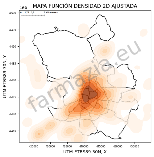
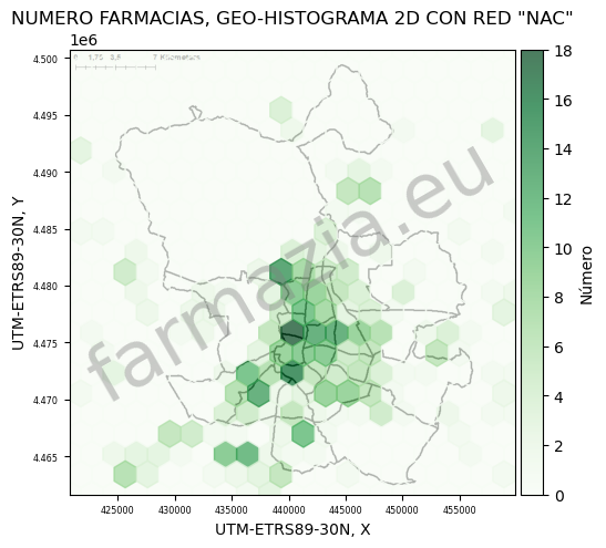
Pharmacy density
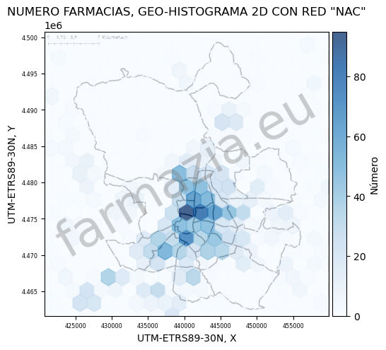
Interactive maps and visualizations of pharmacy distribution in Madrid and surrounding areas.
Generated from publicly available official datasets for educational and informational purposes.
Interactive map showing pharmacy locations by category. Use the zoom and navigation controls to explore the spatial distribution across Madrid and surrounding areas. Hover over or click on any marker to display detailed information about the corresponding pharmacy.
Related article on pharmacy placement in urban areas: Pharmacy Placement in Urban Spain